Prague's Institute of Planning and Development confirmed this spring that the city had completed a fresh audit of its publicly accessible urban imagery database, identifying several hundred duplicate or outdated frames across the mapping layers used by city planners, tourists and residents alike. The problem is more consequential than it sounds: duplicated imagery — two nearly identical photographs indexed at the same coordinate — distorts route-planning tools, confuses accessibility assessments, and clutters the archival record that urban designers rely on when proposing changes to streetscapes.
The timing matters. Cities across Europe have spent the past three years racing to update digital infrastructure following a wave of EU directives pushing for standardised, machine-readable geospatial data. Prague, which has historically kept its geographic information systems under the Prague Geoportal platform, found itself confronting a backlog of imagery accumulated since at least 2018, some of it duplicated as contractors uploaded batches during overlapping survey cycles.
What Prague Is Actually Doing
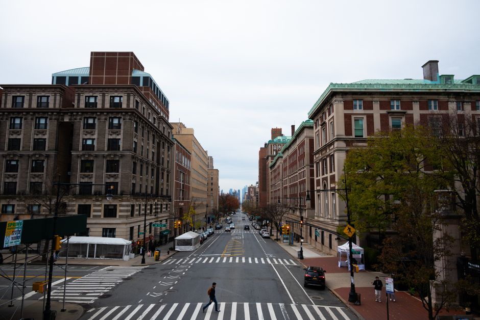
The city's response has been coordinated through the Technical Administration of Roads of Prague — known locally as TSK — in partnership with the Institute of Planning and Development on Vyšehradská street in Nové Město. Under a programme that began in the first quarter of 2026, TSK staff and contracted surveyors are systematically walking priority corridors — Wenceslas Square, the Holešovice waterfront, and sections of Žižkov near Seifertova street — flagging duplicate frames for removal and scheduling replacement captures where the surviving image is outdated by more than four years.
The Holešovice area is receiving particular attention because it has undergone the most dramatic physical transformation of any inner district since 2020, with the former industrial zone near the Bubny railway yard steadily giving way to residential and commercial construction. Old imagery showing vacant lots where apartment blocks now stand is worse than useless for planners — it actively misleads.
Prague Geoportal, which serves tens of thousands of monthly users including architects, journalists and city council researchers, is the public-facing layer where the corrections ultimately appear. Officials at the Institute of Planning and Development have indicated the audit and replacement cycle is expected to run through the end of 2026, with a target of resolving the highest-priority duplicates — those within the city's historic core, a UNESCO-listed zone — by September.
How Prague Stacks Up Against Vienna, Warsaw and Amsterdam
Other European cities have tackled the same problem with varying degrees of urgency and transparency. Vienna's municipal mapping agency, Stadt Wien Maps, completed a comparable imagery deduplication cycle in 2024 as part of its broader Smart City Wien framework, and publishes quarterly update logs that are publicly accessible. Warsaw's City Information Centre — Centrum Informacji Miasta — acknowledged duplicate imagery issues in its open data portal as recently as late 2025, but has not yet published a completed remediation timeline. Amsterdam, whose municipality contracts imagery through a public procurement process tied to the Basis Registratie Grootschalige Topografie national scheme, arguably has the most rigorous institutional mechanism: any contractor uploading duplicate frames beyond a defined error threshold faces financial penalties written into the service agreement.
Prague does not yet operate with Amsterdam's contractual teeth. The current programme is largely reactive — an audit prompted by complaints from urban planners and an internal review — rather than a standing procurement standard that prevents duplication in the first place. That distinction matters when the city contemplates its next major mapping contract, which planners expect to go to tender before the end of 2027.
For residents, the practical upshot is straightforward. Anyone using Prague Geoportal to research planning permissions, check flood-risk zones or simply orient themselves in Žižkov or Holešovice should expect progressively fresher and cleaner imagery through the autumn. Architects submitting building permit applications, a process that increasingly depends on accurate baseline imagery under Prague Building Regulations amendments adopted in 2025, will find fewer mismatched frames complicating their submissions. The city has not published a public dashboard tracking remediation progress, but TSK has confirmed that formal progress reports will be presented to the Prague City Council's infrastructure committee on a quarterly basis. Pressure from councillors to publish those reports openly — as Vienna does — is growing.