City Hall's online planning portal contains hundreds of duplicate photographs — the same image of a Holešovice warehouse appearing under three separate development proposals, the same stock shot of Wenceslas Square recycled across dozens of public-consultation documents. The problem is not cosmetic. Residents trying to track what is being built in their neighbourhood are making decisions based on visual information that may be years out of date or simply wrong.
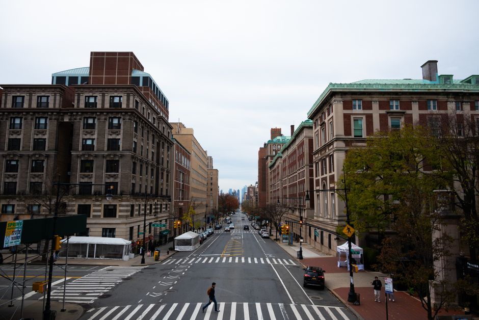
The issue has sharpened this year as Prague's Metropolitan Plan, adopted in 2023, moves into its active implementation phase. District offices across Praha 3, Praha 7 and Praha 10 are posting public notices at a faster rate than at any point in the past decade, and community groups are struggling to distinguish genuine site photography from placeholder or recycled imagery. When an image attached to a demolition permit in Žižkov turns out to be a photograph of a building on Vinohradská třída taken in 2018, trust in the process erodes.
Why Residents Bear the Cost
Duplicate and outdated images create a specific kind of harm for ordinary Praguers: they make it harder to lodge meaningful objections during the statutory thirty-day public-comment window. Czech administrative law requires that planning documents include photographic documentation of the current state of a site. When that documentation is copied from an earlier file or pulled from a generic image database, residents cannot verify whether conditions have changed — whether a protected tree has already been removed, whether scaffolding has come down, whether an adjoining building has been altered.
The Prague 7 district office, which covers Holešovice and Letná, processed more than 140 planning applications in 2025, according to figures published in the district's annual report. Community groups including Arnika, the environmental advocacy organisation based on Chlumova street in Praha 3, have flagged repeated instances of image inconsistencies in documents relating to the redevelopment of the former Holešovice market complex. Arnika has been active in monitoring planning transparency across the city since the late 1990s, and its casework files illustrate how duplicate imagery compounds other documentation failures.
The Prague 1 Heritage Office, responsible for protecting monuments across Malá Strana and Hradčany, updated its photographic cataloguing guidelines in January 2026 after an internal review found that roughly one in five site reference images in its digital archive was a duplicate. The office has not published the full review, but its updated methodology is publicly available on the Prague City Hall website and requires that all photographs be geotagged and timestamped before submission.
What the City Is — and Isn't — Doing
Prague's Institute of Planning and Development, known by its Czech acronym IPR Praha, is the city body with the clearest mandate to address this. Its geospatial data division maintains the Prague Map Portal, which integrates satellite imagery, cadastral records and street-level photography. As of March 2026, the portal covers approximately 98 percent of the city's built area with imagery dated within the previous twenty-four months. The gap — that remaining two percent — tends to cluster in exactly the areas under active development pressure: parts of Karlín, the southern edge of Smíchov, and the Letňany logistics corridor.
Residents who want to protect themselves from being misled have a practical route available. The IPR Praha Map Portal at mapy.iprpraha.cz allows any user to compare dated aerial photography with submitted planning documents side by side. District offices in Praha 2 and Praha 6 have begun hosting monthly drop-in sessions — the Praha 6 sessions run on the second Tuesday of each month at the Bubeneč community centre on Dejvická ulice — where planning officers review submitted documents with residents in real time.
The broader fix requires a technical and procedural standard that the city has not yet mandated uniformly. Until all district offices adopt the January 2026 Heritage Office rule on geotagged, timestamped imagery, residents will continue to encounter planning files where the photograph attached to a proposal bears no verifiable relationship to the building standing on the site today. The thirty-day clock keeps ticking regardless.