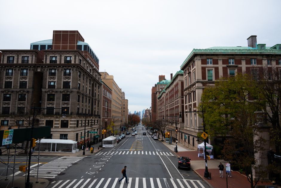
Prague's land and property administration system is carrying a quiet but sprawling error at its core: an estimated several thousand cadastral entries across the city are paired with duplicate or mismatched photographs, meaning a building in Žižkov might be officially illustrated by a facade shot taken in Vinohrady, or a Holešovice warehouse documented under an address in Nusle. The Prague City Hall's Department of Property Management acknowledged the problem internally as far back as 2023, but systematic correction work only began in earnest this spring.
The timing matters. Prague is midway through a broader push to digitalise its municipal records under the Smart Prague 2030 programme, which commits the city to having fully interoperable digital property data by the end of the decade. A database riddled with duplicate images is a direct obstacle to that goal — particularly as the city's Institute of Planning and Development, known by its Czech acronym IPR Praha, attempts to integrate photographic records with its GIS mapping layers for planning and zoning decisions.
How the Errors Accumulated
The problem did not appear overnight. It is the product of at least three overlapping digitisation waves, none of which spoke cleanly to the others. The first round of systematic building photography in Prague ran roughly between 2008 and 2012, when city districts hired separate contractors to photograph street-level facades. District 3, covering Žižkov and Vinohrady, used different file-naming conventions than District 7, which covers Holešovice and Letná. When the central cadastral database attempted to merge these archives around 2014, automated batch-upload scripts assigned images by file sequence rather than verified address string, producing the first large cohort of mismatches.
A second wave followed the 2016 upgrade to the city's ISKN-linked municipal layer — the information system for the cadastre of real estate, maintained at the national level by the Czech Office for Surveying, Mapping and Cadastre (ČÚZK). At that point, roughly 180,000 Prague property records were migrated into a new interface. Spot audits conducted later by IPR Praha found error rates in photographic attribution running between three and seven percent in the most affected districts, with Smíchov and Nusle showing the highest concentrations of duplicate image assignments.
Budget was the bluntest factor. Correcting image metadata manually requires field verification — someone must physically attend the address, confirm the building, and upload a correctly tagged photograph. In 2019, Prague City Hall allocated roughly 4.2 million crowns for a partial correction project focused on the historic core, covering parts of Staré Město and Malá Strana. That work cleared errors in about 11,000 records but left the outer districts largely untouched. Subsequent budget cycles, disrupted first by the pandemic and then by inflationary pressure on city finances, delayed any follow-on contract until late 2024.
What Correction Looks Like Now
The current correction programme, contracted through the city's Technology and Information Centre — Operátor ICT — began field photography runs in March 2026. Teams are working outward from Žižkov's Seifertova Street corridor, moving block by block through the affected districts. The contract, valued at approximately 11.8 million crowns, covers re-photography and database reconciliation across Districts 2, 3, 7 and 10. Completion is scheduled for the first quarter of 2027.
For ordinary residents, the practical consequences of mismatched images have ranged from minor inconvenience to genuine procedural headache. Property owners attempting to submit building permit applications through the city's online portal have had applications flagged when the submitted photo contradicts the cadastral record image — a mismatch that can trigger manual review and add weeks to approval timelines. Architects working on renovation projects in Vinohrady have reported discrepancies when cross-referencing IPR Praha's public map portal with ČÚZK records.
Anyone with a pending property transaction or permit application in the affected districts — particularly in Žižkov, Smíchov or Nusle — should request a manual record check from the relevant cadastral office before submission. The Prague 3 municipal office on Havlíčkovo náměstí has set up a dedicated counter for image discrepancy queries. Operátor ICT has also published a postcode lookup tool on its website where property owners can check whether their address falls within the active correction zone.