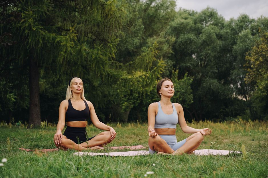
Prague has more than 300 kilometres of marked walking and hiking routes within city limits, yet most residents default to the same tourist-worn cobblestones around Staré Město. That's a missed opportunity. The city's parks department, Odbor péče o zeleň, maintains a network of graded trails stretching from easy riverside loops to proper woodland climbs — and this July, with temperatures regularly touching 32°C, knowing which route suits your fitness level isn't a luxury, it's a safety question.
The timing matters. Europe's urban heat-island effect is sharpening, and Prague's green corridors are functioning as genuine thermal refuges — canopy cover on the Divoká Šárka trail, for instance, keeps ground temperatures roughly 6–8°C cooler than Wenceslas Square at midday. Public health researchers at Charles University's Faculty of Physical Education and Sport have been tracking citizen activity patterns since 2023, and preliminary data show trail use has risen by 22 percent among the 30–50 age bracket over the past two summers. People are voting with their feet, even if they don't always choose wisely.
The Easy End: Stromovka to Letná
Start with the gentlest option. The Stromovka Park loop, in Prague 7, runs approximately 4.5 kilometres along flat gravel and tarmac paths through a former royal hunting ground. There is almost no elevation gain. The park opens at all hours, entry is free, and the western section along Nad Královskou oborou street has outdoor fitness stations installed in 2024 under the city's Aktivní Praha programme — pull-up bars, parallel bars, and balance beams spaced every 150 metres or so. For anyone returning to exercise after illness or injury, this is the obvious starting point.
Step up modestly and the Letná Park circuit delivers about 6 kilometres with two short climbs, the steepest being the ascent from the riverbank near Čechův most up to the plateau where the giant metronome stands. The route rewards the effort: views over the Vltava and the old town rooftops are genuinely arresting. The surface is mixed — some sections are loose gravel — so trail shoes rather than fashion trainers are advisable. The Sparta Praha athletics club uses the park for interval sessions on Tuesday and Thursday evenings, which gives the trail an energetic atmosphere in early summer dusk.
The Harder Stuff: Divoká Šárka and Prokopské Údolí
Divoká Šárka, in Prague 6, is where the terrain gets serious. The full circuit from the tram terminus at Divoká Šárka (lines 20 and 26 stop here) to the reservoir at Džbán and back runs close to 9 kilometres, with cumulative elevation of around 180 metres. Several short but sharp limestone ridgeline sections will test anyone who has spent the previous six months desk-bound. The reward is genuine countryside inside the city — buzzards overhead, wild garlic in spring, almost no car noise. Rated 3 out of 5 for difficulty on the Prague.eu trail maps, which are downloadable for free from the city's official portal.
Hardest on this list is Prokopské Údolí in Prague 5, a 12-kilometre gorge trail with exposed rock faces and some scrambling near Butovice. Elevation change tops 220 metres over the full route. The Czech Hiking Club, Klub českých turistů, marks this trail with yellow blazes and recommends it only for those comfortable with uneven terrain and loose stone. Bring at least a litre of water per person — there are no drinking fountains on the route. The trail connects to Řepy at the northern end, making a one-way traverse possible via public transport.
A practical note on planning: Praha v pohybu, the city's digital wellness map at pohyb.praha.eu, lets you filter routes by distance, surface type and difficulty rating. It updated its trail database in April 2026 and now includes real-time weather overlays, useful when afternoon thunderstorms roll in from the west — which they do reliably in July. Start early, carry sun protection regardless of cloud cover, and if any trail raises a concern about a pre-existing condition, a sports physician at Fakultní poliklinika on Karlovo náměstí can assess your fitness before you head out. The trails aren't going anywhere.